Erichsburg castle ruins
- Home
- Excursion destinations
- Castles & palaces
- Erichsburg castle ruins
Erichsburg castle ruins
Burgruine Erichsburg
Get a special stamp of the Harzer Wandernadel
First mentioned in documents in the 12th century, Erichsburg was a medieval hilltop castle complex with a core castle 30 meters in diameter. After being purchased by Count Heinrich zu Stolberg in 1320, Erichsburg Castle probably served the people of Stolberg as protection for one of their trade routes.
The lord of the castle left Erichsburg to his cousin Hermann, whose mercenaries, however, plundered the surrounding region and caused unrest. This was finally resisted in 1326 by a force of Thuringian nobles together with citizens from the surrounding villages. surrounding towns. They captured the castle and the castle garrison was executed on the spot along with their lord. Erichsburg Castle was never allowed to be rebuilt.
Today, a beautiful sheltered resting place for hikers has been created on this site, and only information boards still point to the dark times. The dimensions of Erichsburg Castle, on the other hand, can still be guessed from the remains of a few walls and small parts of the former ramparts and moat. The reward here is a special stamp from the Harz Hiking Needle ‘Castles & Palaces’.
INFORMATION
Start your stamp hunt at the parking lot with the snack station ‘Harzer Spezialitäten Kather’.
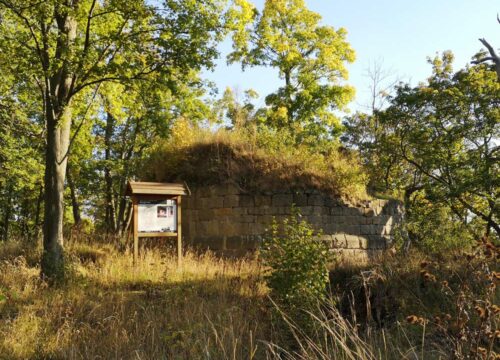
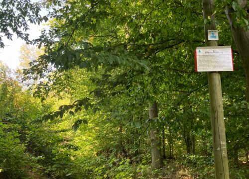
From there, the route continues gently uphill for just under 3 km on a well-maintained hiking and forest trail, Beckstraße. After 2.3 km, keep right at the fork. You will reach your destination, the stamp point at the ruins of Erichsburg Castle, via a path to the right of the main path. Please pay attention to the signs.
Harzer Wandernadel ‘Castles & Palaces’ stamping station
YOUR TOUR IN FIGURES
- START Parking lot on the B242
- ROUTE 2.8 kilometers
- DURATION 45 minutes
- ascent 79 meters
- LOWEST POINT 417 meters
- HIGHEST POINT 496 meters