Anhalt castle ruins
- Home
- Excursion destinations
- Castles & palaces
- Anhalt castle ruins
Anhalt castle ruins
Burgruine Anhalt
Get to know the namesakes of the country
Do you know where the name Anhalt in the state name Saxony-Anhalt originated? You will find the answer on the Großer Hausberg between Harzgerode and Ballenstedt.
Anhalt Castle once stood here, which Count Otto von Ballenstedt had built at the beginning of the 12th century as the ancestral seat of the Ascanians. After its destruction, Albrecht the Bear rebuilt the castle from bricks in the 13th century.
The building was one of the largest and most magnificent castles in the entire Harz region and established Albrecht’s fame as the most important Ascanian. From the beginning of the 14th century, the castle was considered uninhabited and fell into disrepair. Today, the castle stables and information boards remind us of its importance in times gone by.
INFORMATION
In Mägdesprung, a narrow road leads across the B 185 towards Carlswerk and the I. – IV. Hammer in an easterly direction to the Selkemühle. There is a public parking lot here.
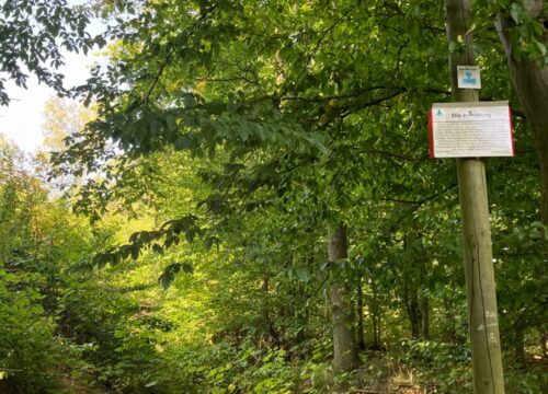
Your hike to the Anhalt castle ruins starts at the Selkemühle parking lot. Unfortunately, you have to leave the Selketal-Stieg trail to the left here and switch to the gravel path on the right. After approx. 150 m you come to a fork where you take the beautiful nature trail on the left through the forest. After another 350 meters, take the sharp right fork.
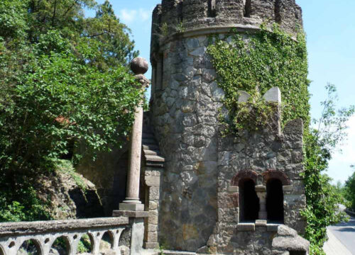
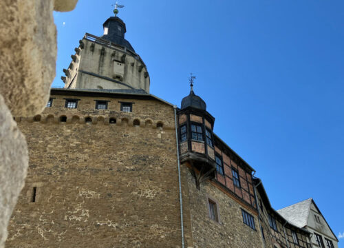
Here you continue to climb towards the top of the Großer Hausberg. After 600 m, the path comes to anend and you take a sharp left, where your destination, the Anhalt ruins , awaitsyou after just 120 m. At the top, you can reward yourself for the ascent with a stamp from the Harz hiking pin.
Stamping point 197 of the Harzer Wandernadel. Please note that the stamping point is located outside the Anhalt castle ruins.
YOUR VISIT
- START Selkemühle parking lot
- ROUTE 1.3 kilometers
- DURATION 35 minutes
- ascent 141 meters
- DROP 14 meters
- LOWEST POINT 234 meters
- HIGHEST POINT 384 meters